Main-land Development Consultants
Auburn Maine Land Surveyors
Welcome to Main-Land: Your Trusted Partner in Auburn, Maine Land Surveying
Unlock the full potential of your land with Main-Land, the leading experts in Auburn, Maine land surveying. Our dedicated team combines cutting-edge technology with years of expertise to provide accurate and reliable surveying services tailored to meet your unique needs.
Why Choose Main-Land for Auburn, Maine Land Surveying?
1. Unparalleled Expertise
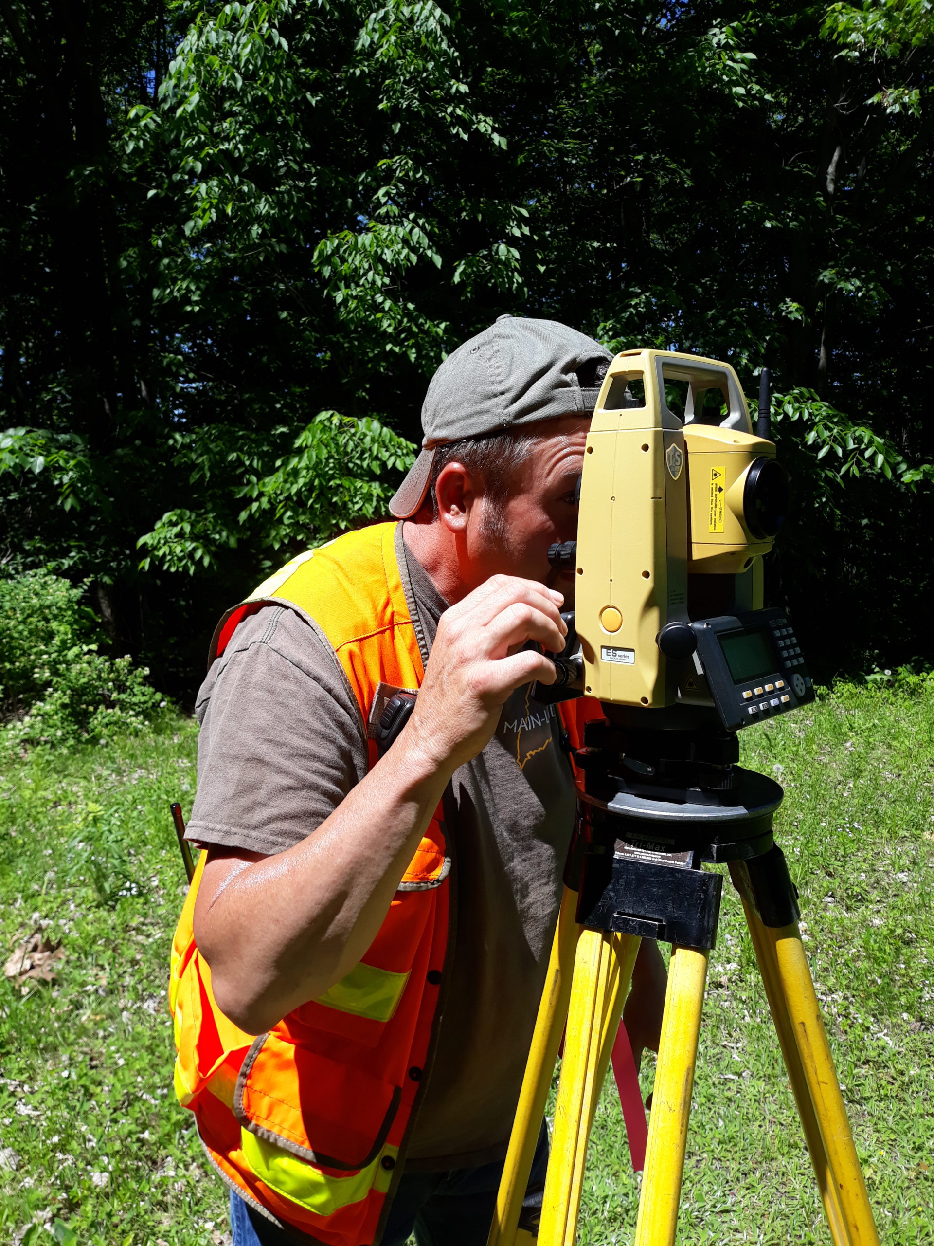
With Main-Land, you benefit from a team of highly skilled and licensed land surveyors who bring extensive knowledge of Auburn’s terrain and regulatory landscape. Our commitment to excellence ensures that your surveying needs are met with precision and professionalism.
2. State-of-the-Art Technology
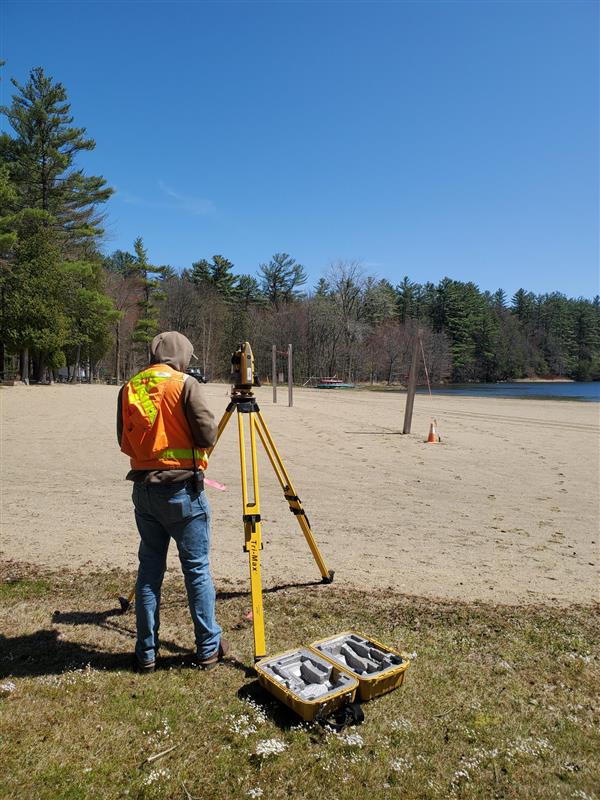
We leverage the latest advancements in surveying technology to deliver fast and accurate results. Our advanced equipment allows us to conduct thorough surveys, providing you with detailed insights into your property in Auburn, Maine.
3. Comprehensive Services
Whether you’re planning a construction project, resolving property disputes, or simply looking to better understand your land, Main-Land offers a wide range of surveying services. From boundary surveys to topographic mapping, we have the expertise to handle it all.
4. Local Insight, Global Standards
As a local company rooted in Auburn, Maine, Main-Land understands the unique characteristics and challenges of the area. We combine this local insight with adherence to global surveying standards, ensuring that your project is executed seamlessly.
Main-Land Can Help with your Next Land Surveying Project!
Boundary Surveys
Our precise boundary surveys provide you with a clear understanding of property lines, helping to prevent disputes and ensure compliance with local regulations.
Topographic Mapping
Main-Land delivers detailed topographic maps that showcase the natural and man-made features of your land, essential for informed decision-making.
Construction Layout
Optimize your construction projects with our accurate construction layout services, ensuring that your structures align perfectly with the intended design.
Subdivision Planning
Planning a subdivision? Main-Land guides you through the process, addressing zoning regulations and creating a comprehensive plan for your development.
More Than Just Land Surveying.
At Main-Land, we’re not just about services; we’re about making your journey to the closing table seamless and worry-free. We take genuine care in assisting our clients – filling in any missing deeds, plans, and municipal references. If discrepancies arise, we’re here to provide hands-on assistance. What’s more, we go the extra mile by delivering MLI Plans directly to your loan processors. And, of course, we make sure setbacks are in compliance and determine flood zones for that added peace of mind.
When it comes to the Location of Underground Utilities, trust us as your go-to experts at Main-Land. As seasoned land surveyors, we take the time to accurately chart the location and height of subterranean utilities. Our commitment to thorough research and field identification ensures precision in every detail.
Navigating Complicated Construction Layouts is our expertise. While many contractors may have their own layout talent, Main-Land steps in for those who need an extra boost. Whether it’s roads, parking lots, building corners, offsets, or grades – we’ve got the expertise to make your construction projects a breeze.
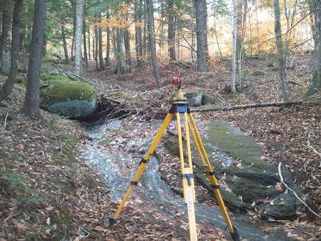
And let’s talk about Water Infrastructure – we’re not just about surveying land. At Main-Land, we tackle large culvert crossings, bridge abutments, and dams. Need topography below the water surface? We’ve got you covered for water volume and flow calculations. Have a tricky survey? Just give us a call – we’re ready for the challenge!
Watch Our Surveying Video
Request a Surveying Quote
Go ahead and enter your contact information. We won’t share it without your permission. Expect an email soon!