Main-land Development Consultants
Portland Maine Land Surveyors
Your land has a high value in Portland Maine and Main-Land is aware of this. You must safeguard it. You can be confident that we have the knowledge and experience to meet all of your land surveying needs by choosing Main-Land as your Portland Maine land surveying business.
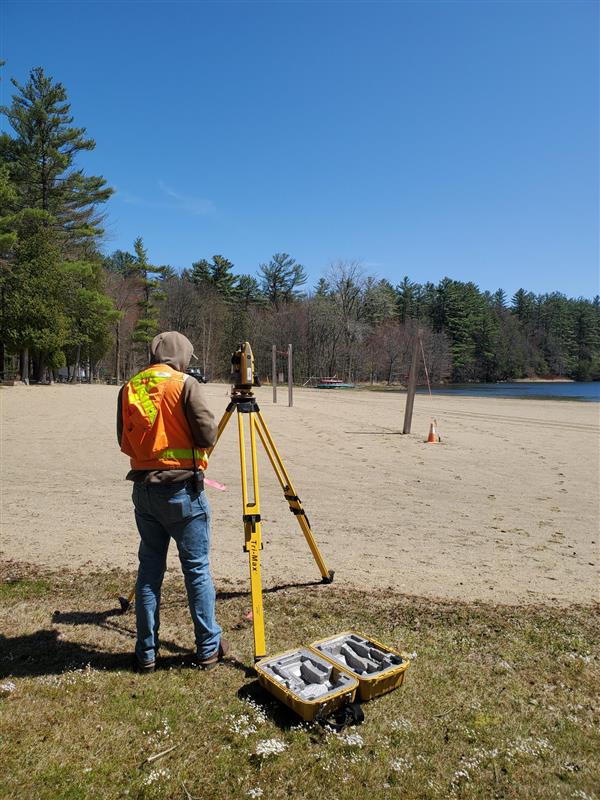
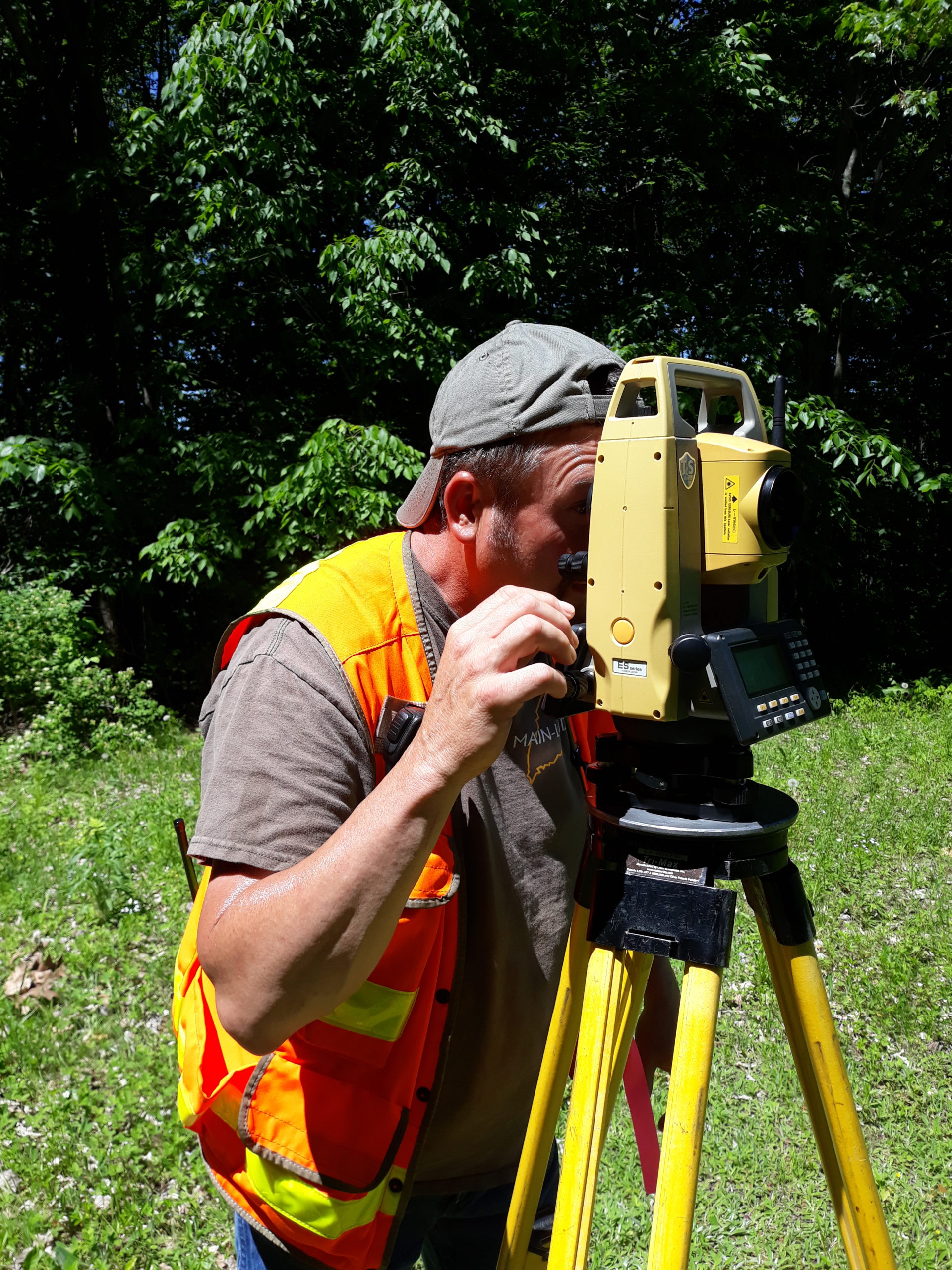
Land surveying is the process of accurately determining the boundaries of a piece of land. It involves the use of specialized equipment, such as total stations and GPS receivers, to measure and map the land. Land surveyors use the data they collect to create maps and legal descriptions of the property, which are used for a variety of purposes, including construction, land use planning, and property sales. Land surveyors must have a good understanding of geometry, trigonometry, and other mathematical concepts, as well as knowledge of local laws and regulations related to land surveying. In many cases, land surveyors are required to be licensed by the state in which they practice.
We have the knowledge to get the job done, the right way.
Flood Elevation Certificate
Despite the fact that your home has been mapped as being in a high-risk flood zone, do you feel this way? Perhaps obtaining an Elevation Certificate was a requirement set forth by your mortgage provider. Or perhaps you want to attempt to get your flood insurance rates reduced. Whatever the situation, we can assist!
Main-Land Development provides a comprehensive range of land surveying services, including GPS mapping and floodplain services. We also focus on providing industry-leading surveying guidance and assistance to our professional clients. If you want to buy, sell, subdivide, value, or improve your real estate, you could need land surveying services. All of your land surveying needs can be met with our assistance. Call 2078976752 for a free estimate and to discuss your needs, or fill out the form below, and we will get in touch with you.
More Than Just Land Surveying.
Mortgage Loan Inspections (MLI)
We go out of our way to help clients reach the closing table by supplying any deed, plan, or municipal references that are lacking, helping to resolve issues, and delivering MLI Plans straight to your loan processors. Along with validating setback compliance and flood zone assessment, this is also important.
Location of Underground Utilities
Additionally, we classify underground utilities as a split of Main-Land. After finishing our study and field identification, we can precisely map the position and height of the utility as land surveyors..
Construction Layout
Complex layout requirements exist for complicated construction projects. Although many contractors have layout experts on staff, Main-Land is available to assist those that don’t or who require a little extra strength. Your road, parking lots, building corners, offsets, and grades can all be laid out by us.
Water Infrastructure
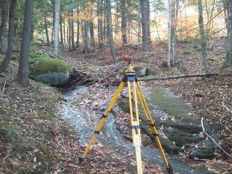
Many people conduct land surveys. What about inspecting objects on or near the water, though? Large culvert crossings, bridge abutments, and dams are all surveyed by Main-Land. Underwater topography is accessible, and it can be used to estimate water volume and velocity. Have a challenging survey? Dial us.
Request a Surveying Quote
Go ahead and enter your contact information. We won’t share it without your permission. Expect an email soon!