Main-Land Development Consultants

Bathymetric Surveying

Bathymetric-Surveying-Maine-

Discover the Depths: Bathymetric Surveying in Maine

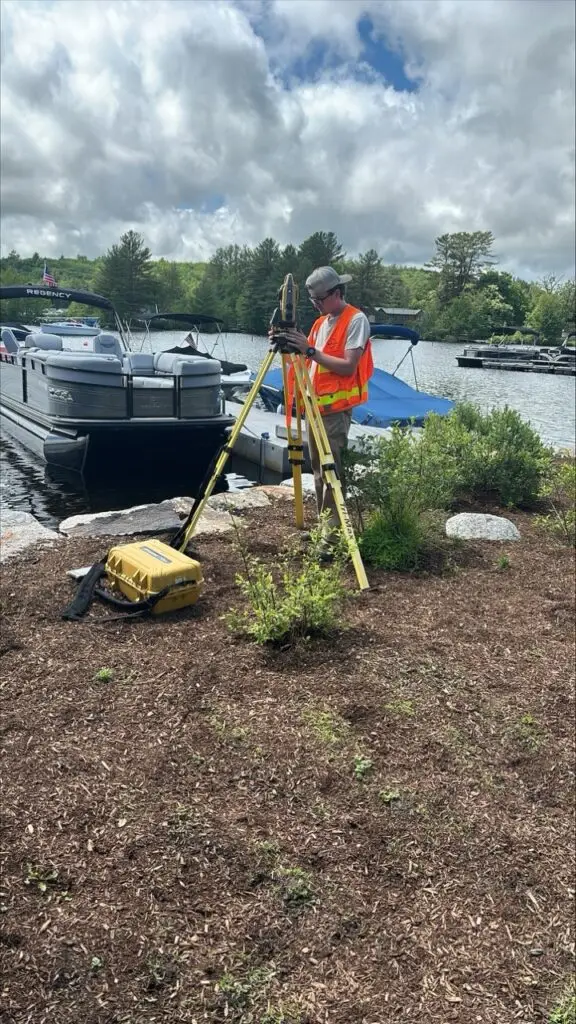
In the fields of marine construction, environmental research, and waterway management, accurate underwater data is essential. Our cutting-edge bathymetric surveying services in Maine offer unparalleled precision, efficiency, and comprehensive insights. See how our advanced technology can transform your projects, providing detailed underwater topography and essential data for informed decision-making.

Why Choose Bathymetric Surveying in Maine?

  • High Precision: Achieve detailed underwater mapping with high-resolution bathymetric data. Our surveys provide accurate depth measurements and seafloor topography.
  • Efficient Data Collection: Speed up your project timelines with quick and efficient underwater data gathering. Our technology allows for rapid data acquisition and analysis.
  • Cost Savings: Reduce the need for extensive manual surveys and minimize risks. Our precise bathymetric surveys ensure accuracy, saving you time and money.
  • Comprehensive Information: Access a wealth of underwater data, from depth profiles to sediment composition, all from a single survey.


Our Bathymetric Surveying Services in Maine

High-Resolution Underwater Mapping

Capture the full detail of underwater environments with our advanced bathymetric mapping technology. Ideal for:

  • Marine Construction
  • Dredging Projects
  • Harbor and Port Management
  • Coastal Engineering
Underwater Terrain and Sediment Analysis

Benefit from detailed analysis of underwater terrains and sediment composition tailored to your needs. Perfect for:

  • Environmental Impact Assessments
  • Aquatic Habitat Studies
  • Flood Risk Management
  • Submarine Cable Routing

Request a GIS Quote

Go ahead and enter your contact information. We won’t share it without your permission. Expect an email soon!

l-ladd-edited

Levi Ladd

Head of main-land Laser Scanning at Main-land

Have more questions?