Main-Land Development Consultants

Geomatics

Surveying-Companies-in-Maine-plans

Transform Your Projects with Geomatics Services in Maine

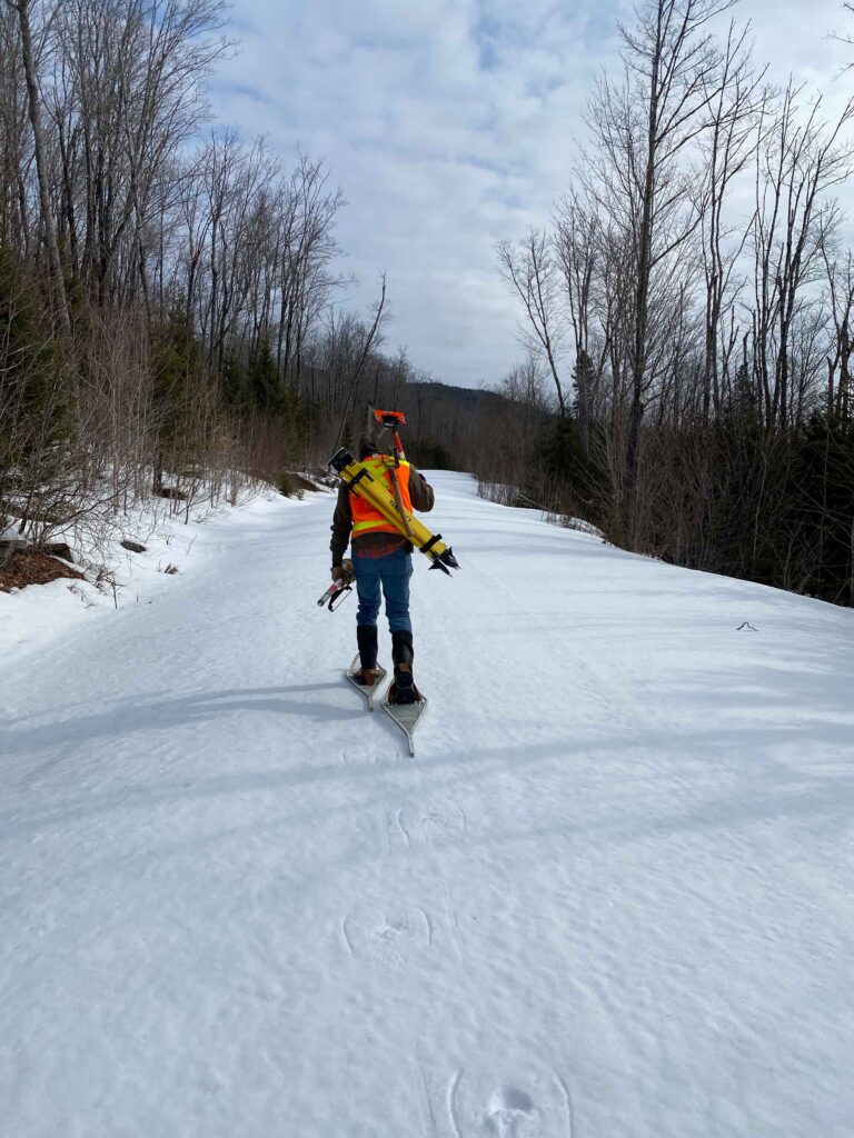
In today’s industries, from construction to environmental management, accurate spatial data is essential. Our comprehensive geomatics services in Maine offer the precision, efficiency, and insights necessary to elevate your projects. Discover how our advanced technology can transform your workflows, providing detailed spatial information and analysis.

Why Choose Geomatics Services in Maine?

  • Unmatched Precision: Obtain high-accuracy spatial data for superior planning and decision-making. Our geomatics services capture and analyze geographic information with pinpoint accuracy.
  • Enhanced Visualization: Convert raw data into easy-to-understand maps and models. Visualize your project area in detailed and meaningful ways.
  • Time Efficiency: Accelerate project timelines with rapid data collection, analysis, and presentation. Make informed decisions faster.
  • Cost-Effective Solutions: Optimize resource allocation and reduce operational costs with comprehensive geomatics analysis. Avoid costly mistakes with data-driven insights.
  • Comprehensive Data Integration: Combine various data sources into a single, cohesive system. Our geomatics services integrate topographic data, land use information, and more.


Our Geomatics Services in Maine

Topographic and Land Surveys

Capture detailed topographic data and land features for your projects. Ideal for:

  • Construction Planning
  • Infrastructure Development
  • Land Use Planning
  • Real Estate Development
Geographic Information Systems (GIS)

Utilize GIS for advanced spatial analysis and mapping. Perfect for:

  • Urban Planning
  • Environmental Impact Studies
  • Natural Resource Management
  • Asset Management
Remote Sensing and Aerial Imaging

Gather high-resolution data from aerial and satellite imagery. Essential for:

  • Environmental Monitoring
  • Agricultural Planning
  • Disaster Management
  • Land Cover Analysis
Land-Surveying-Companies-in-Maine-Employee-Snowshoeing

Request a Geomatics Quote

Go ahead and enter your contact information. We won’t share it without your permission. Expect an email soon!

l-ladd-edited

Levi Ladd

Head of main-land Laser Scanning at Main-land

Have more questions?